Drag
demo
Advanced avionics and data processing
15th Jan 2025

Balkan-1: New step in Earth Observation with AI-Powered Satellite Imaging Capability

Balkan-1, our first Copernicus Contributing Mission satellite, set to significantly enhance the European Sentinel constellation’s coverage.

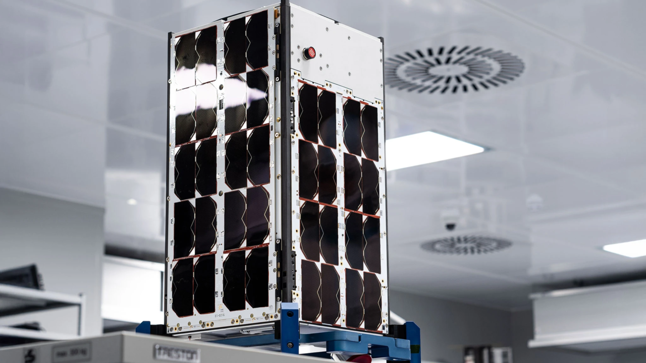
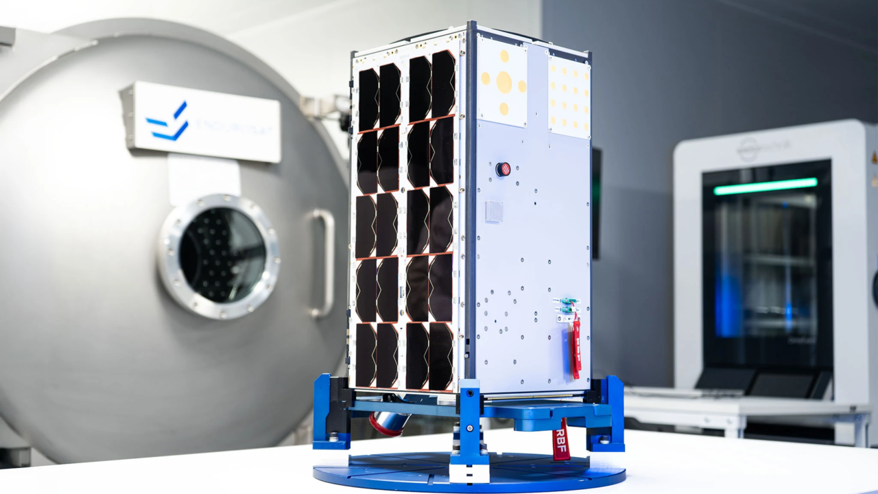
Balkan-1 is EnduroSat’s pilot Copernicus Contributing Mission which will provide high resolution multispectral images to improve the coverage of the European Sentinel constellation. Balkan will supply images with 1.5 meter resolution critical for agricultural monitoring, forestry, land cover change management, climate impact as well as biodiversity and plant monitoring. Apart from imaging and downlinking the space data to the ground, Balkan-1 carries innovative AI algorithms for image processing, developed by the French company Agenium. These enable the satellite to pre-process the images and detect events or objects of interest such as fires and other natural disasters. In case such an event is detected, Balkan-1 can send a beacon to notify authorities without sending the entire image but only its coordinates and basic assessment. This makes Balkan-1 unique in capability – all traditional EO satellites send the raw data to the ground, where it is processed and similar events are extracted, leading to hours of delay for the detection. This satellite is the first for the Balkan constellation. Increaasing the number of cameras in orbit with this capability, shortens the time for identifying important changes. It also supplies faster than ever before actionable data in the hands of stakeholders.

Transporter 12 carries two satellites built by EnduroSat with 10 more planned for launch within the first half of 2025, including additional satellite for Balkan Constellation.
After the deployment, Balkan-1 will immediately switch ON and await for several minutes in order to distance itself from the rocket. Then the satellite will autonomously deploy its solar panels and low frequency antennas and begin transmitting beacons for the purpose of easier identification from the ground. Within 2 hours, EnduroSat’s ground stations will acquire the initial signals and immediately read all of its key telemetry including battery and temperatures, ensuring that the satellite is in a stable state. It will further download data from the onboard GNSS receiver and filter it with the low frequency radio beacons in order to determine the orbit more precisely. Within 1 day all primary components will be commissioned by checking their readings and operational ranges against the expected performances. Multiple tests will be conducted on the guidance, navigation and control system in order to make sure that all of its components are operating and are installed properly relative to the spacecraft optical instruments. Once those are verified, the spacecraft’s automatic detumbling will be enabled by using magnetic torquer rods onboard. The spacecraft is expected to be in a stable attitude and ready to begin payload commissioning within 3 days of the launch. Finally, the camera will be brought online for its commissioning and performance testing. First images are expected within a week from the deployment. The satellite will be tasked to acquire hundreds of images over the first month in order to calibrate the camera and ensure that the final data quality is up to the high standards of the Copernicus Program so that it can be used immediately together with Copernicus’ own data and mapped onto existing models of the Earth.